✈
Aerial
High-resolution drone surveys for elevated and difficult-to-access assets.
- Factory & warehouse roof surveys
- Farm sheds, silos & tanks
- Cranes & elevated structures
- Storm-damage documentation
- Solar arrays & rooftop plant
High-resolution aerial, thermal and subsea visual data capture for industrial, commercial, rural and marine assets — helping teams inspect difficult-to-access areas with less disruption and better documentation.
Our platforms capture targeted visual and thermal data above ground, across elevated structures and below the waterline.
High-resolution drone surveys for elevated and difficult-to-access assets.
Thermal imaging to identify and document abnormal temperature patterns for further investigation.
ROV-based visual surveys for underwater assets, reducing unnecessary diver exposure during initial assessment.
Real-world imagery demonstrates the perspective available from aerial and subsea platforms — giving clients a clearer view of environments and assets that can be difficult to assess from the ground or surface.
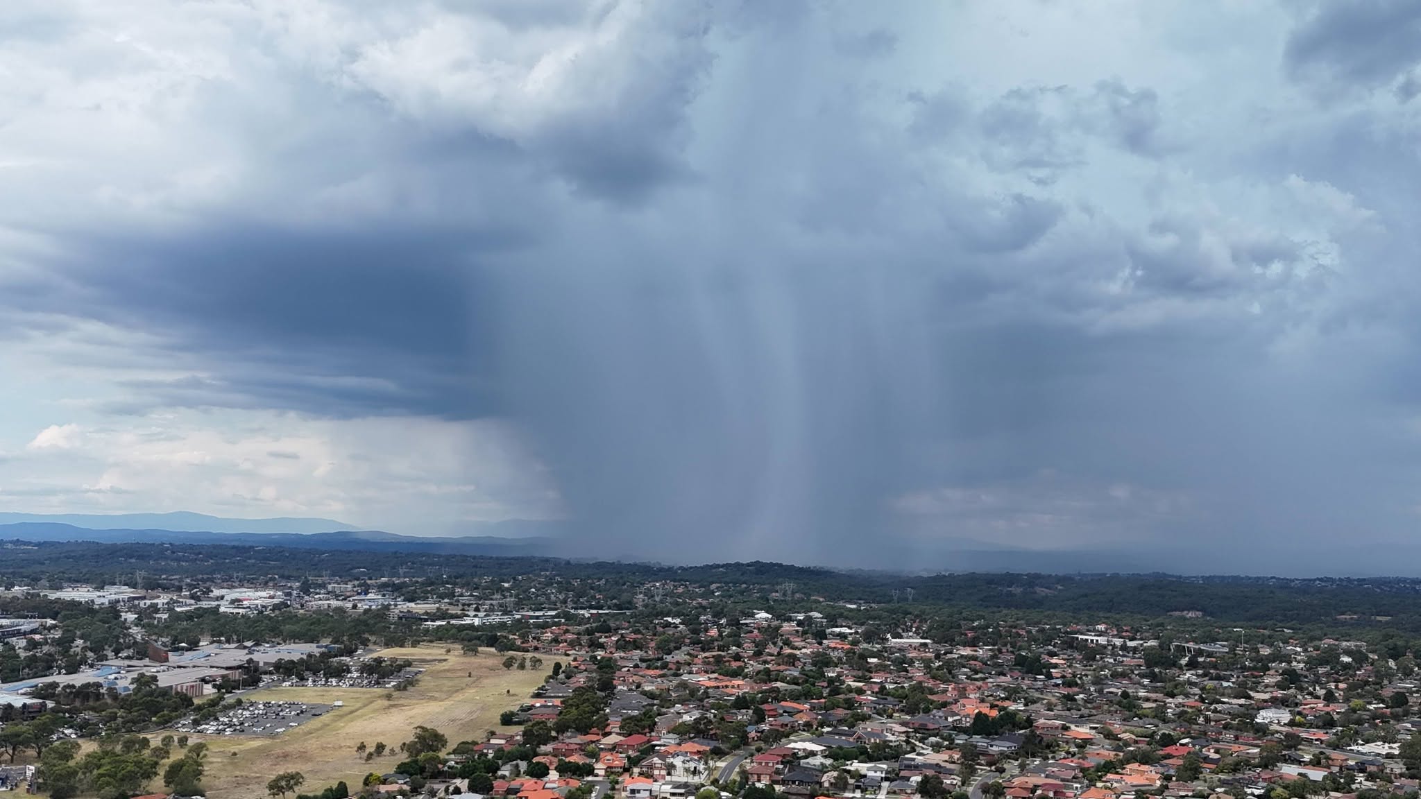
High-resolution aerial imagery can provide valuable site context, environmental awareness and perspectives that are difficult to appreciate from ground level.

Detailed underwater imagery shows the level of visual information that can be captured around marine structures, submerged assets and underwater environments.
Example imagery captured using aerial and subsea platforms.
Sky to Sea Technologies supports maintenance, asset-management and condition-monitoring teams across industrial, rural and marine sites.
Depending on scope, deliverables can be tailored to maintenance, asset-management or specialist review workflows.
In many cases a drone can complete the initial visual survey without personnel accessing the roof. If an issue requires hands-on testing, repair or specialist assessment, suitable access may still be required.
Thermal imaging can highlight abnormal temperature patterns that may warrant further investigation. Conditions such as weather, solar loading, wind, reflections and the asset itself can affect thermal results, so thermal imagery must be interpreted in context.
No. We provide remote visual and thermal data capture and condition observations. Where certification, engineering judgement, electrical diagnosis or a statutory inspection is required, the relevant appropriately qualified person should undertake that work.
Yes. Where practical and permitted, a site visit can be scoped to include multiple assets such as roofs, silos, tanks, solar arrays or marine structures, which can make mobilisation more efficient.
Yes. Repeat capture can help maintenance teams compare imagery over time and monitor visible deterioration or changes in asset condition.
Tell us what you need inspected, where the site is and what outcome you need. We can then discuss the most practical aerial, thermal or subsea approach.